What is a Weigh Station Location Plan

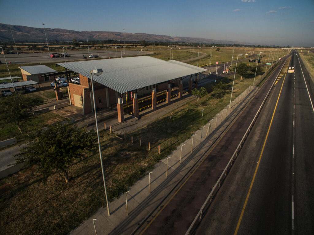
A Weigh bridge Location Plan is a strategic layout or map that outlines the placement of multiple weigh bridges across a network of sites, such as transportation hubs, highways, or logistics facilities, to optimize vehicle weighing and traffic management. It details the locations of weigh bridges in relation to road networks, access routes, and infrastructure, ensuring efficient traffic flow, data integration, and compliance with regulations. The plan includes considerations like connectivity for real-time data sharing (e.g., with NaTIS), site-specific logistics, and coordination between metropolitan, provincial, or national authorities, enhancing operational efficiency and infrastructure preservation across the network
Why is it important
Weigh bridge Location Plan is vital for optimizing traffic management, infrastructure preservation, and cost efficiency across multiple sites. Strategic weigh bridge placement minimizes traffic disruptions, enhances safety, and reduces costly infrastructure wear. By integrating with systems like Trafman, it ensures real-time data sharing for coordinated enforcement and compliance. The plan’s careful design lowers installation and maintenance expenses, as weighbridges are high-cost facilities. This approach maximizes operational efficiency, minimizes long-term costs, and promotes sustainable road networks for metropolitan, provincial, or national authorities